How Living Map transformed navigation for visitors at St. Pancras International

Problem
With multiple rail operators, underground access routes, retail outlets, and dining spots all housed under one roof, visitors frequently get lost in the station due to its complex layout which has the potential to lead to missed train connections and retailers not being discovered.
Goal
With millions travelling through the station each year, St. Pancras International required better promotion of its facilities, and a wayfinding tool to enhance the passenger experience, improving navigation to train platforms, shops, restaurants, and cafes.
Approach
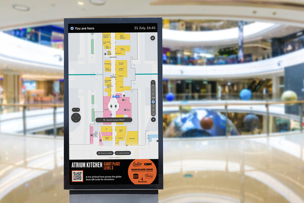
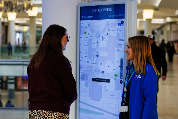
A digital map designed to enhance and simplify navigation to train platforms and promote the shopping and dining facilities, which is accessible on the station’s website, mobile devices and static posters with QR codes strategically positioned throughout the space.
Living Map Solution:

Enhanced Passenger Experience
Visitors and passengers at the railway station can now effortlessly navigate the complex environment, easily locating platforms, shops, and dining options. The interactive digital map allows users to find the quickest routes to their destinations and discover all the station offers, enhancing passenger satisfaction and encouraging visitors to explore the space.
User-Friendly Interface
Living Map has developed a user-friendly interface tailored to accommodate visitors of all demographics. The intuitive design ensures that both tech-savvy visitors and those less familiar with digital technology can easily navigate the station and comfortably use the map.
Data-Driven Insights
The railway station can now leverage data collected from using the map to gain valuable insights into visitor behaviour and foot traffic. This data supports informed decision-making regarding resource allocation, platform management, and retail placement, ultimately improving operational efficiency.
Inclusivity and Accessibility
The station prioritises accessibility for all visitors. The map is designed to support disabled access, providing detailed guidance and information for travellers with disabilities, ensuring inclusivity and easy, stress-free access for everyone.

"This partnership with Living Map will further solidify St. Pancras International's position as a premier travel destination and cultural hub," said Wendy Spinks, HS1 Commercial Director.
“Together with Living Map, we are committed to providing an unparalleled experience for all who pass through our doors.”
Smart Spaces case studies

Waltham Forest Case Study
A customised digital map to improve accessibility for all with content curated by Waltham Forest’s council, for digital distribution

Kings Cross Case Study
King’s Cross, renowned for its diverse mix of shops, cafes, bars and restaurants nestled within its cobbled streets and brick arches, aimed to optimise visitor exploration.

City of Edmonton Case Study
Seeking to capture the dynamic and changing character of the city, Edmonton requested a digital map for residents and visitors that highlights the changing seasons.
Latest Smart Spaces news and resources

Request a demo
Experience the power of our mapping, wayfinding, and navigation technology for yourself. See how our software can enhance the customer experience in your facility.